History of navigation
The history of navigation is a fascinating journey that spans thousands of years. Humans have been navigating the Earth's vast landscapes and oceans since ancient times. Here's a brief overview of the history of navigation:
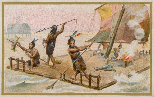
- Early Navigation Techniques: In the prehistoric era, early humans relied on natural landmarks, such as the position of the sun, moon, stars, and mountains, to navigate their surroundings. They observed the patterns of celestial bodies and used them as reference points for direction.
- Celestial Navigation: Around 3000 BCE, civilizations like the Phoenicians and Polynesians developed more advanced celestial navigation techniques. They used stars and constellations as guides to determine their position and direction. Polynesians, in particular, became exceptional navigators, using a combination of celestial cues, wave patterns, bird behavior, and other natural indicators to traverse vast distances across the Pacific Ocean.
- Development of Instruments: Over time, navigational instruments were invented to aid in navigation. One notable device was the astrolabe, developed by the ancient Greeks and later refined by Muslim astronomers. The astrolabe allowed mariners to measure the altitude of celestial bodies and calculate their latitude.
- Magnetic Compass: The introduction of the magnetic compass in China during the Han Dynasty (2nd century BCE) revolutionized navigation. The compass, which used the Earth's magnetic field, provided mariners with a reliable method of determining direction. It quickly spread to other regions, such as the Arab world and Europe, significantly enhancing navigation capabilities.
- Age of Exploration: The 15th and 16th centuries marked the Age of Exploration, driven by a desire to discover new trade routes and expand empires. During this time, advancements in navigation played a crucial role in exploration. Notable explorers like Christopher Columbus, Ferdinand Magellan, and James Cook relied on a combination of celestial navigation, dead reckoning, and improved maps to navigate uncharted territories.
- Chronometers and Longitude: Determining longitude accurately was a significant challenge for navigators until the invention of marine chronometers in the 18th century. John Harrison's H4 chronometer, perfected in the mid-18th century, allowed mariners to calculate their longitude with great precision, revolutionizing navigation and enabling safer long-distance sea travel.
- Modern Navigation: The 20th century witnessed significant advancements in navigation technology. Radio navigation systems like LORAN (Long-Range Navigation) and later GPS (Global Positioning System) made navigation more precise and accessible. GPS, developed by the United States, became widely available for civilian use in the 1990s and is now an integral part of navigation across various domains.
- Digital Navigation: In recent years, digital navigation systems have become ubiquitous. Electronic charting systems (ECS) and electronic navigation displays are commonly used on ships and aircraft, providing real-time position tracking, route planning, and other navigational information. Additionally, smartphone applications and online maps have made navigation more accessible to the general public.
.jpeg)
.jpeg)
.jpeg)
0 Comments